
Description
This A4 road atlas with lie-flat spiral binding provides clear and detailed road mapping for England, Wales and Southern Scotland at a scale of 3.2 miles to 1 inch (1:200,000). For Northern Scotland the mapping is at a scale of 4.2 miles to 1 inch (1:266,000), with land height shown by different layers of colouring.
Main features:
- Route planning section including maps at a scale of 22 miles to 1 inch for long distance route planning, motorway services information, and a handy distance calculator chart
- 26 urban area approach maps at a larger scale which clearly show the best routes through and into the busiest built-up-areas
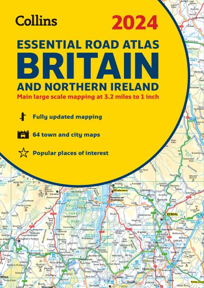
- 64 street maps focused on town centres showing places of interest, car park locations and one-way streets. All the street maps are fully indexed
- Over 30 categories of places of interest including castles, theme parks, sports venues, universities, mountain bike trails and surfing beaches
- The top 1000 most visited places of interest are indexed with full postcodes to aid integration with satnav systems
This is the ideal purchase for drivers, navigators and route planners who want the very best road atlas of Britain in an A4 format.